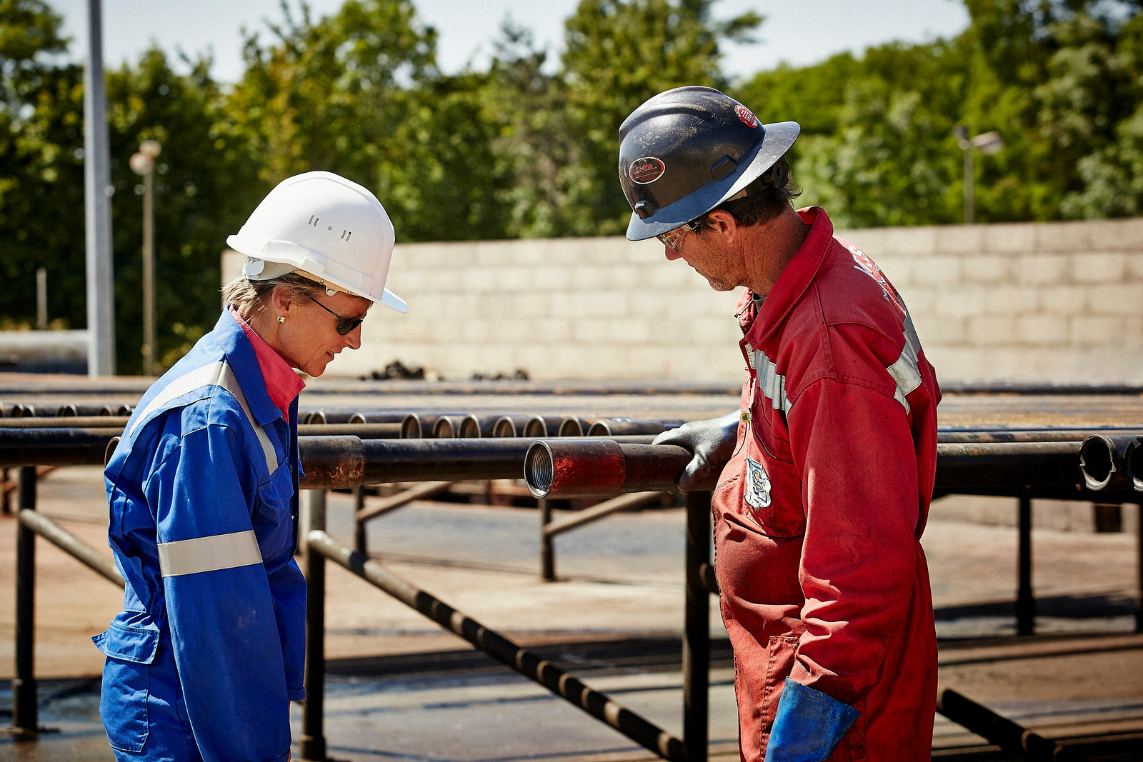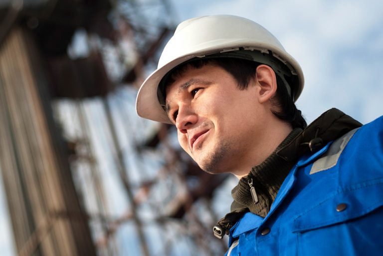

En tant que producteur d'énergie responsable, Vermilion s'efforce d'être un voisin exceptionnel qui s'implique dans les communautés où nos employés vivent et travaillent. Nous soutenons nos communautés par le biais de notre programme Ways of Caring.
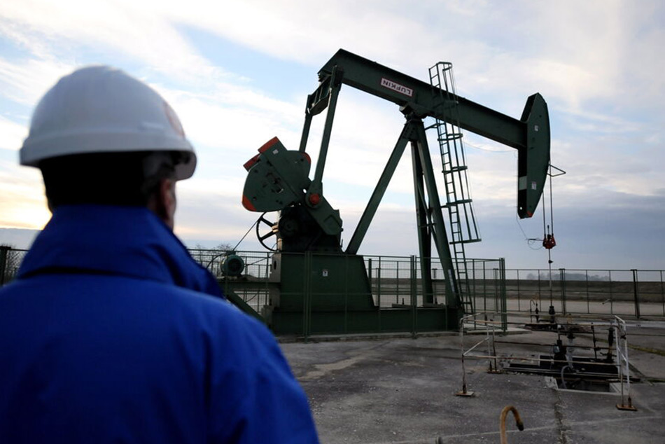
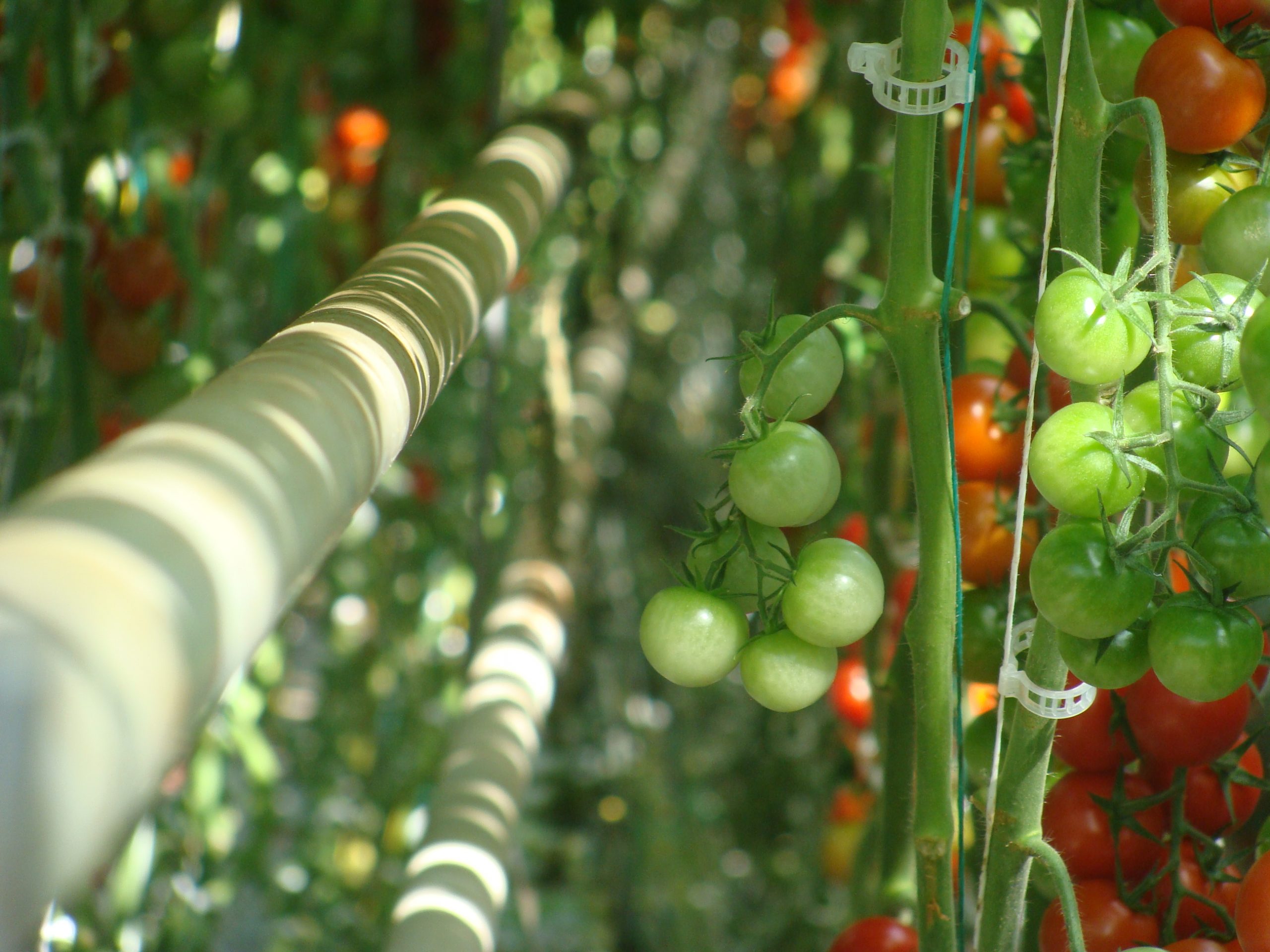
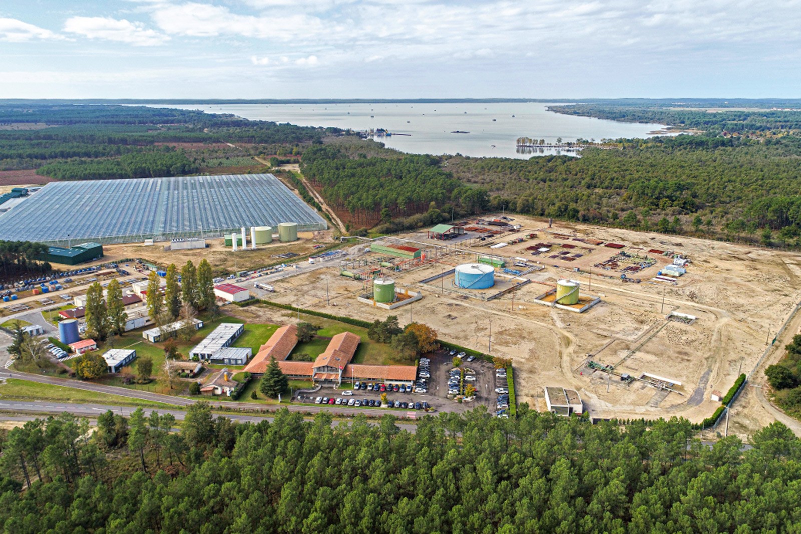
Les activités de Vermilion en France sont basées sur le bassin aquitain et le bassin parisien. Ils se concentrent sur la production de pétrole brut, socialement et écologiquement responsable.